
Conflict Response: Sudan Civil War
We use satellite data to assess how cultivation in Sudan changed during the 2023–2024 conflict compared to pre-conflict years.
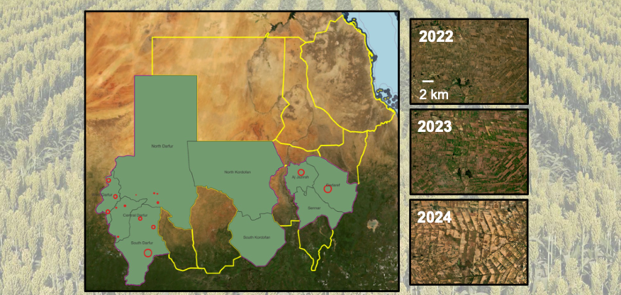
Cultivated area declined.
As Sudan enters its fourth year of devastating conflict, FEWS NET requested RAAPID’s support to assess how the war was disrupting agricultural production in areas where field access was severely constrained.
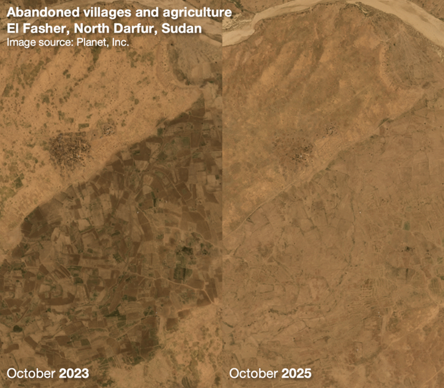
We worked with Arizona State University and Planet to assess how Sudan’s conflict was disrupting agricultural production in areas where field access was severely constrained. The analysis revealed significant losses in cultivated area in key production regions—including Al Jazirah and North Darfur—while showing that impacts varied substantially by region and production system.
Key agricultural regions—including South Darfur, North Darfur, Al Jazirah, and South Kordofan—show significant declines in total cultivated area, while places like Al Gedaref saw only localized losses. High-resolution imagery (source: Arizona State University; data source: Planet) also reveals extensive uncultivated fields across the Al Jazirah irrigation scheme in 2024.
By providing transparent, independent monitoring when on-the-ground reporting is disrupted, RAAPID helps clarify the true scale of agricultural impacts—critical for anticipating humanitarian needs and understanding ripple effects in global grain markets that shape food aid planning and market stability.