
Severe Weather Event: Pakistan Flooding
Following the 2025 Pakistan floods, we led satellite-based assessments through the G20 GEOGLAM Crop Monitor initiative to quantify agricultural impacts, monitor recovery, and deliver timely, evidence-based intelligence to policymakers and humanitarian organizations.
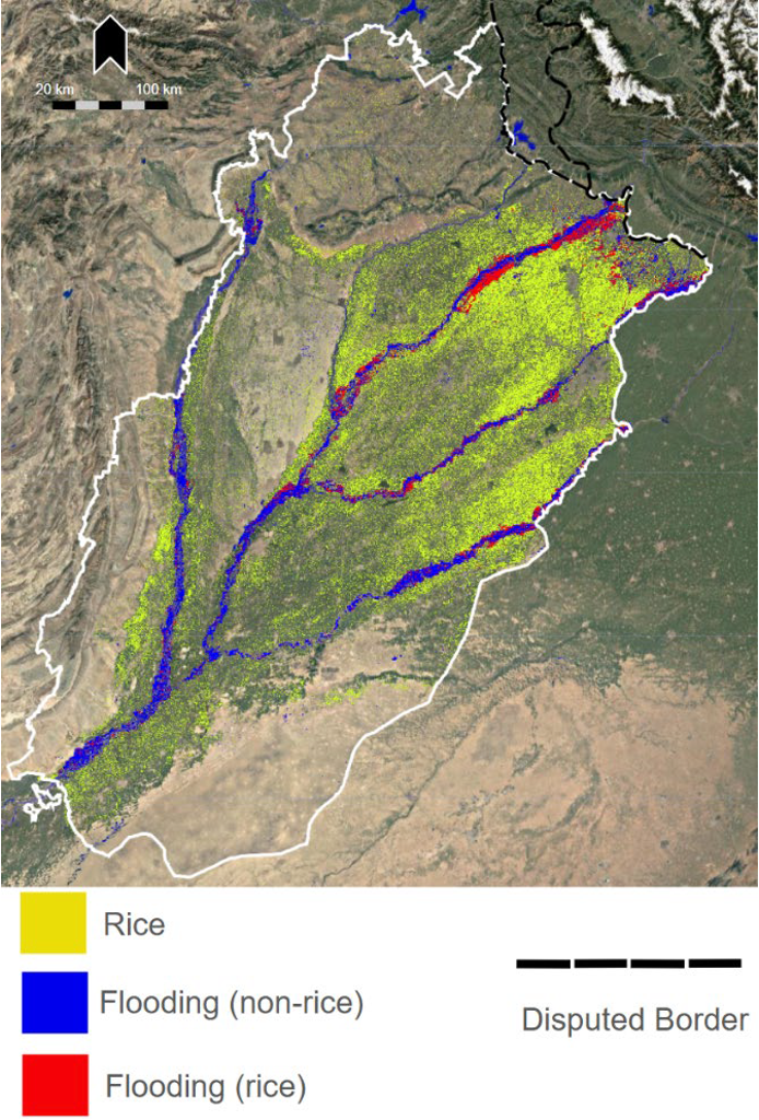
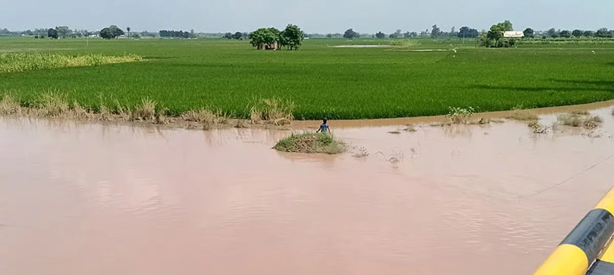
Punjab sees worst flooding in over four decades.
At the request of FEWSNET, RAAPID assessed the impacts of flooding on Pakistan’s agricultural production and the potential implications for food security. The analysis provided a timely picture of crop damage and recovery, while also revealing risks to the following wheat season from damaged infrastructure, delayed planting, and disrupted access to inputs. Early estimates suggested exceptionally severe agricultural losses in Pakistan; RAAPID’s analysis showed that while the impacts were substantial, they were not nearly as severe as initially anticipated—providing an evidence-based picture that helped bring clarity and calm to a rapidly evolving situation.
Using Earth observation data from Sentinel-1, Sentinel-2, Landsat, and near-real-time flood products, the team mapped the extent of flooding across Pakistan's major agricultural regions and quantified impacts on rice production in Punjab, where flooding coincided with critical crop growth stages.
We estimated the area of rice affected by flooding, monitored crop recovery as floodwaters receded, and assessed implications for the upcoming wheat season, including risks from damaged infrastructure, delayed planting, and reduced access to agricultural inputs. By integrating satellite-derived crop and flood information with climate and ground observations, the team provided timely, objective assessments that informed the GEOGLAM Crop Monitor and helped guide national and international food security planning.